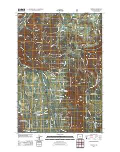
2011 Map of Parkdale
USGS Topo · Published 2011About this map
Parkdale serves as the central hub of this agricultural and timber landscape in the shadow of Oregon's highest peak. The settlement's infrastructure is anchored by the Mount Hood-Parkdale Post Office and nearby Hanel Field, reflecting the region's importance as a fruit-growing and resource-rich corridor. The map details a complex irrigation network vital to the Upper Hood River Valley, featuring the Mount Hood Canal, East Fork Main Canal, and Highline Lateral that distribute water from the East Fork Hood River.
Find a feature on this map
100 named features on this map. Tap any name to fly to it.
Don’t see what you’re looking for? This feature index may not catch every label — zoom into the map to look around manually.
Map Details
Editions of this 2011 Parkdale Map
This is the sole edition of this map. No revisions or reprints were ever made.
Other maps of this area

1924 · Mount Hood
USGS Topo · 1:125,000

1926 · Hood River
USGS Topo · 1:125,000

1927 · Mount Hood
USGS Topo · 1:125,000

1929 · Hood River
USGS Topo · 1:125,000

1930 · Dufur
USGS Topo · 1:125,000

1934 · Dufur
USGS Topo · 1:125,000

1934 · The Dalles
USGS Topo · 1:125,000

1953 · The Dalles
USGS Topo · 1:250,000

1956 · The Dalles
USGS Topo · 1:250,000

1957 · The Dalles
USGS Topo · 1:250,000