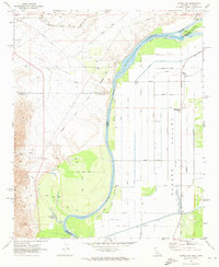
1970 Map of Parker SW
USGS Topo · Published 1973About this map
The Colorado River serves as the central artery for this 1970 landscape, winding between the borders of Riverside and San Bernardino counties in California and Yuma County in Arizona. The map reveals an intricate network of water management and agricultural infrastructure, featuring the Main Canal, East Drain, and a Diversion Dam that supported the emerging fields of the Parker Valley. This engineered landscape contrasts with the natural Sand Dunes and the prominent Vidal Valley to the west.
Find a feature on this map
41 named features on this map. Tap any name to fly to it.
Don’t see what you’re looking for? This feature index may not catch every label — zoom into the map to look around manually.
Map Details
Editions of this 1970 Parker SW Map
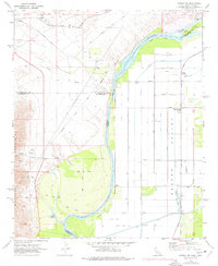
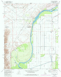
3 editions found
Other maps of this area

1911 · Parker
USGS Topo · 1:125,000

1931 · Moon Mtn
USGS Topo · 1:62,500

1932 · Moon Mtn
USGS Topo · 1:62,500

1942 · Blythe
USGS Topo · 1:250,000

1942 · MOON MTN
USGS Topo · 1:62,500

1943 · Parker
USGS Topo · 1:62,500

1943 · Vidal
USGS Topo · 1:62,500

1945 · Big Maria Mtns
USGS Topo · 1:62,500

1949 · Parker
USGS Topo · 1:62,500

1949 · Vidal
USGS Topo · 1:62,500