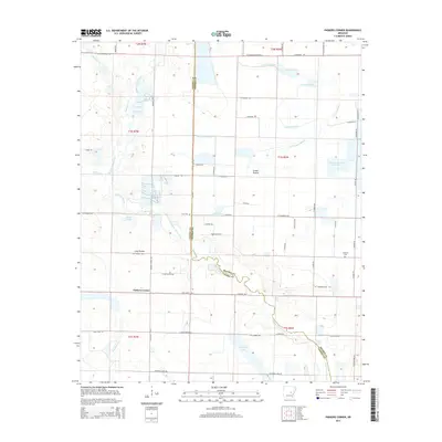
2014 Map of Parkers Corner
USGS Topo · Published 2014About this map
Parkers Corner sits at the intersection of rural life and agricultural engineering along the border of Lonoke and Prairie Counties. This landscape is defined by the expansive reaches of the Grand Prairie and Long Prairie, where the natural drainage of Bayou Two Prairie and La Grue Bayou has been supplemented by a network of man-made water management features. The area's dependence on water for cultivation is evident in the numerous irrigation structures such as the Joe Uhiren Reservoir and Thomas Reservoir Number 2.
Find a feature on this map
69 named features on this map. Tap any name to fly to it.
Don’t see what you’re looking for? This feature index may not catch every label — zoom into the map to look around manually.
Map Details
Editions of this 2014 Parkers Corner Map
This is the sole edition of this map. No revisions or reprints were ever made.
Other maps of this area

1935 · Hazen
USGS Topo · 1:62,500

1937 · Stuttgart
USGS Topo · 1:62,500

1937 · England
USGS Topo · 1:48,000

1939 · Stuttgart
USGS Topo · 1:62,500

1940 · Lonoke
USGS Topo · 1:62,500

1941 · Hazen
USGS Topo · 1:62,500

1943 · England
USGS Topo · 1:62,500

1948 · Helena
USGS Topo · 1:250,000

1949 · Lonoke
USGS Topo · 1:62,500

1950 · Helena
USGS Topo · 1:250,000