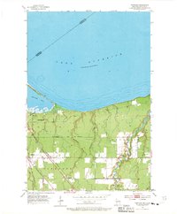
1954 Map of Parkland
USGS Topo · Published 1970About this map
The southern shore of Lake Superior dominates this mid-century survey, defined by the prominent landform of Wisconsin Point and the sheltered waters of Allouez Bay. The landscape inland is a network of small drainage systems, including Bear Creek, Dutchman Creek, and Morrison Creek, which carve through the terrain toward the lake. The area's industrial and transportation foundations are clearly visible, with the Northern Pacific and Chicago and North Western railroads intersecting near the settlement of Parkland.
Find a feature on this map
22 named features on this map. Tap any name to fly to it.
Don’t see what you’re looking for? This feature index may not catch every label — zoom into the map to look around manually.
Map Details
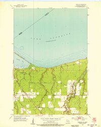
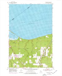
Editions of this 1954 Parkland Map
3 editions found
Other maps of this area

1895 · Duluth
USGS Topo · 1:62,500

1915 · Superior
USGS Topo · 1:48,000

1917 · Superior
USGS Topo · 1:62,500

1949 · Poplar
USGS Topo · 1:48,000

1953 · Lakewood
USGS Topo · 1:24,000

1953 · Duluth
USGS Topo · 1:24,000

1953 · Duluth
USGS Topo · 1:62,500

1953 · Ashland
USGS Topo · 1:250,000

1953 · Duluth
USGS Topo · 1:250,000

1954 · Sunnyside
USGS Topo · 1:24,000