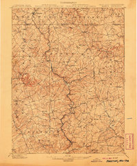
1902 Map of Parkton
USGS Topo · Published 1907About this map
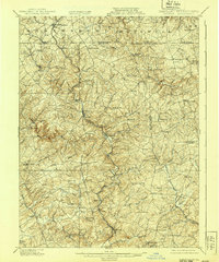
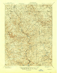
The Northern Central Railway carves a critical path through the Maryland and Pennsylvania borderlands, following the winding course of Gunpowder Falls. This 1900 survey captures a region of tight-knit agricultural and rail-oriented settlements, where the railway connects hubs like Parkton and Whitehall to the broader corridor. The map highlights the transition from Baltimore County into York County, specifically documenting the namesake Maryland Line settlement and the busy transit routes of the York Pike and Old York Road. Away from the rail line, the landscape is defined by a dense network of runs and branches, such as Little Gunpowder Falls and Beetree Run, which supported a series of small villages and manor lands. Places like Bacon Hall, Summit Grove, and the uniquely named Spook Hill provide a window into the local nomenclature and land ownership of the early twentieth century.
Find a feature on this map
109 named features on this map. Tap any name to fly to it.
Don’t see what you’re looking for? This feature index may not catch every label — zoom into the map to look around manually.
Map Details
Editions of this 1902 Parkton Map
7 editions found
Other maps of this area

1892 · Ellicott
USGS Topo · 1:62,500

1893 · Gunpowder
USGS Topo · 1:62,500

1894 · Ellicott
USGS Topo · 1:62,500

1894 · Baltimore
USGS Topo · 1:62,500

1898 · Tolchester
USGS Topo · 1:125,000

1899 · Baltimore
USGS Topo · 1:62,500

1900 · Parkton
USGS Topo · 1:62,500

1901 · Belair
USGS Topo · 1:62,500

1901 · Gunpowder
USGS Topo · 1:62,500

1902 · Parkton
USGS Topo · 1:62,500