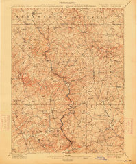
1902 Map of Parkton
USGS Topo · Published 1914About this map
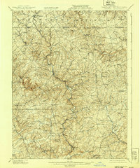
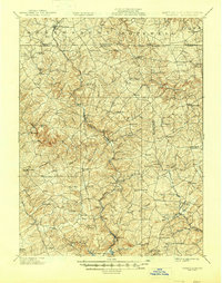
Gunpowder Falls carves a deep, winding path through the northern Maryland borderlands, anchoring a landscape of tight contour lines and narrow valleys. This turn-of-the-century survey illustrates the vital transit corridor along the Northern Central RR, which connects the rail-town of Parkton to northern hubs like New Freedom across the Pennsylvania border. The terrain is defined by its complex drainage network, including Little Falls and Deer Creek, which once powered the early industries of the region.
Find a feature on this map
109 named features on this map. Tap any name to fly to it.
Don’t see what you’re looking for? This feature index may not catch every label — zoom into the map to look around manually.
Map Details
Editions of this 1902 Parkton Map
7 editions found
Other maps of this area

1892 · Ellicott
USGS Topo · 1:62,500

1893 · Gunpowder
USGS Topo · 1:62,500

1894 · Ellicott
USGS Topo · 1:62,500

1894 · Baltimore
USGS Topo · 1:62,500

1898 · Tolchester
USGS Topo · 1:125,000

1899 · Baltimore
USGS Topo · 1:62,500

1900 · Parkton
USGS Topo · 1:62,500

1901 · Belair
USGS Topo · 1:62,500

1901 · Gunpowder
USGS Topo · 1:62,500

1902 · Parkton
USGS Topo · 1:62,500