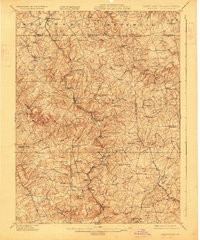
1902 Map of Parkton
USGS Topo · Published 1927About this map
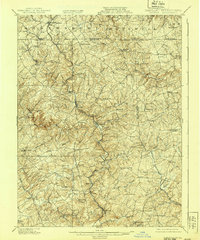
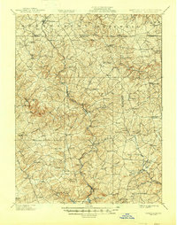
The Northern Central Ry carves through the central valley of this northern Baltimore County landscape, serving as the primary corridor for commerce and travel at the dawn of the twentieth century. Several established settlements grew along this rail spine, including Parkton, Whitehall, and Glencoe, while the surrounding hills are dotted with historic manor names and agrarian communities such as Bacon Hall, Philopolis, and Mount Carmel. To the north, the map documents the Pennsylvania Maryland boundary line, where the borough of New Freedom sits just across the border from Summit Grove. The area's hydrology is dominated by the winding paths of the Little Gunpowder Falls and Little Falls, which define the drainage patterns for the numerous runs and branches that supported local mills and farms. The presence of the Turnpike running through Hereford highlights the early road network that connected these rural Maryland townships before the expansion of modern highways.
Find a feature on this map
91 named features on this map. Tap any name to fly to it.
Don’t see what you’re looking for? This feature index may not catch every label — zoom into the map to look around manually.
Map Details
Editions of this 1902 Parkton Map
7 editions found
Other maps of this area

1892 · Ellicott
USGS Topo · 1:62,500

1893 · Gunpowder
USGS Topo · 1:62,500

1894 · Ellicott
USGS Topo · 1:62,500

1894 · Baltimore
USGS Topo · 1:62,500

1898 · Tolchester
USGS Topo · 1:125,000

1899 · Baltimore
USGS Topo · 1:62,500

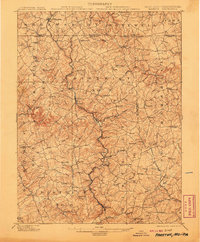
1900 · Parkton
USGS Topo · 1:62,500

1901 · Belair
USGS Topo · 1:62,500

1901 · Gunpowder
USGS Topo · 1:62,500

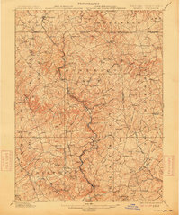
1902 · Parkton
USGS Topo · 1:62,500