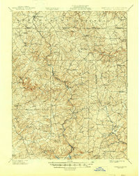
1902 Map of Parkton
USGS Topo · Published 1945About this map
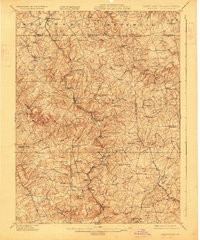
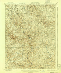
Gunpowder Falls and its numerous tributaries, including Little Falls and Bee Tree Run, carve through the rolling landscape of northern Baltimore County and southern York County. This 1900 survey, published by the U.S. Geological Survey under H.M. Wilson, captures a rural society organized around the Northern Central RR, which follows the winding river valley through settlements like Parkton and Whitehall. The map reveals a dense network of late 19th-century communities such as Maryland Line and Gorsuchs Mills, many of which were centers of local milling and agriculture. Near the southern border, the early footprint of the Lock Raven Reservoir appears, signaling the region's increasing role in supplying water to the growing city of Baltimore. In the north, the transition into Pennsylvania is marked by New Freedom and Stewartstown, highlighting the interconnected nature of the cross-border rail and road economy.
Find a feature on this map
98 named features on this map. Tap any name to fly to it.
Don’t see what you’re looking for? This feature index may not catch every label — zoom into the map to look around manually.
Map Details
Editions of this 1902 Parkton Map
7 editions found
Other maps of this area

1892 · Ellicott
USGS Topo · 1:62,500

1893 · Gunpowder
USGS Topo · 1:62,500

1894 · Ellicott
USGS Topo · 1:62,500

1894 · Baltimore
USGS Topo · 1:62,500

1898 · Tolchester
USGS Topo · 1:125,000

1899 · Baltimore
USGS Topo · 1:62,500

1900 · Parkton
USGS Topo · 1:62,500

1901 · Belair
USGS Topo · 1:62,500

1901 · Gunpowder
USGS Topo · 1:62,500

1902 · Parkton
USGS Topo · 1:62,500