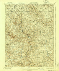
1902 Map of Parkton
USGS Topo · Published 1939About this map
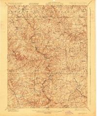
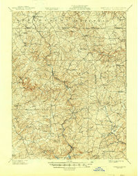
Gunpowder Falls carves a deep valley through the Maryland and Pennsylvania borderlands, anchoring a landscape defined by turn-of-the-century transport and cross-border commerce. The Northern Central R.R. follows the winding river course through Parkton and Whitehall, serving as a vital rail artery between Baltimore and southern Pennsylvania. Along the high ground to the west, the York Turnpike parallels the tracks, connecting a series of ridge-top settlements like Maryland Line and Linden Springs.
Find a feature on this map
104 named features on this map. Tap any name to fly to it.
Don’t see what you’re looking for? This feature index may not catch every label — zoom into the map to look around manually.
Map Details
Editions of this 1902 Parkton Map
7 editions found
Other maps of this area

1892 · Ellicott
USGS Topo · 1:62,500

1893 · Gunpowder
USGS Topo · 1:62,500

1894 · Ellicott
USGS Topo · 1:62,500

1894 · Baltimore
USGS Topo · 1:62,500

1898 · Tolchester
USGS Topo · 1:125,000

1899 · Baltimore
USGS Topo · 1:62,500

1900 · Parkton
USGS Topo · 1:62,500

1901 · Belair
USGS Topo · 1:62,500

1901 · Gunpowder
USGS Topo · 1:62,500

1902 · Parkton
USGS Topo · 1:62,500