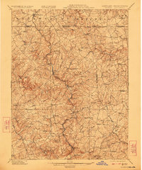
1902 Map of Parkton
USGS Topo · Published 1923About this map
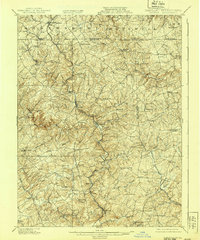
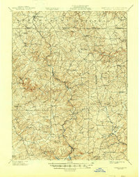
Gunpowder Falls carves through the rolling countryside of northern Baltimore and Harford counties in this early twentieth-century survey. The landscape is defined by a dense network of watercourses, including the curiously named First Mine Branch, Second Mine Branch, and Third Mine Branch near Stablersville. These streams fed the rural economy of the era, supporting small milling centers like Gorsuchs Mills near the Pennsylvania border.
Find a feature on this map
108 named features on this map. Tap any name to fly to it.
Don’t see what you’re looking for? This feature index may not catch every label — zoom into the map to look around manually.
Map Details
Editions of this 1902 Parkton Map
7 editions found
Other maps of this area

1892 · Ellicott
USGS Topo · 1:62,500

1893 · Gunpowder
USGS Topo · 1:62,500

1894 · Ellicott
USGS Topo · 1:62,500

1894 · Baltimore
USGS Topo · 1:62,500

1898 · Tolchester
USGS Topo · 1:125,000

1899 · Baltimore
USGS Topo · 1:62,500

1900 · Parkton
USGS Topo · 1:62,500

1901 · Belair
USGS Topo · 1:62,500

1901 · Gunpowder
USGS Topo · 1:62,500

1902 · Parkton
USGS Topo · 1:62,500