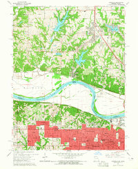
1964 Map of Parkville
USGS Topo · Published 1965About this map
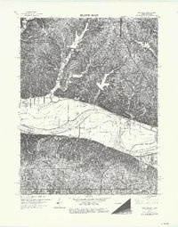
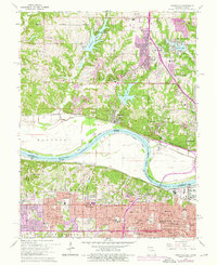
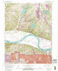
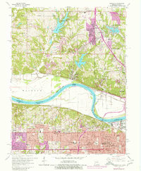
The Missouri River anchors this mid-1960s survey, delineating the winding border between Platte and Wyandotte counties as it loops through Pomeroy Bend and Quindaro Bend. North of the water, the Missouri side is characterized by steep bluffs and new residential developments surrounding Weatherby Lake and Waukomis Lake. The historic campus of Park College overlooks the river at Parkville, while the Chicago Burlington and Quincy railroad follows the northern bank.
Find a feature on this map
92 named features on this map. Tap any name to fly to it.
Don’t see what you’re looking for? This feature index may not catch every label — zoom into the map to look around manually.
Map Details
Editions of this 1964 Parkville Map
8 editions found
Other maps of this area

1890 · Kansas City
USGS Topo · 1:125,000

1894 · Kansas City
USGS Topo · 1:125,000

1910 · Leavenworth
USGS Topo · 1:62,500

1914 · Smithville
USGS Topo · 1:62,500

1934 · Bonner Springs
USGS Topo · 1:48,000

1934 · Shawnee
USGS Topo · 1:24,000

1934 · Edwardsville
USGS Topo · 1:24,000

1934 · Wolcott
USGS Topo · 1:24,000

1935 · Kansas City
USGS Topo · 1:24,000

1935 · North Kansas City
USGS Topo · 1:24,000