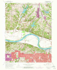
1964 Map of Parkville
USGS Topo · Published 1971About this map
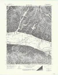
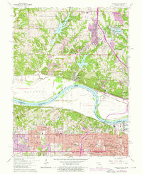
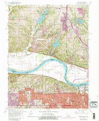
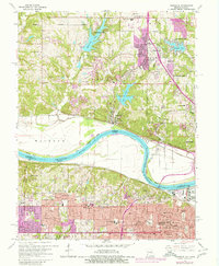
Parkville and the winding Missouri River define this landscape on the border of Missouri and Kansas during the mid-1960s. The river's path is marked by significant geographic features like Pomeroy Bend and Parkville Bend, while the adjacent bottomlands show a network of levees protecting areas like Waldron. Further inland, the terrain is dotted with suburban developments and several notable water bodies, including Weatherby Lake, Waukomis Lake, and Riss Lake.
Find a feature on this map
64 named features on this map. Tap any name to fly to it.
Don’t see what you’re looking for? This feature index may not catch every label — zoom into the map to look around manually.
Map Details
Editions of this 1964 Parkville Map
8 editions found
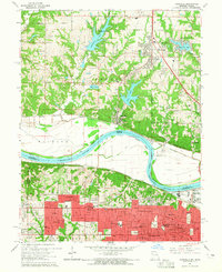
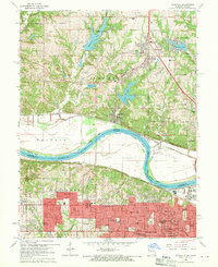
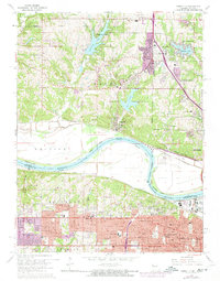
Other maps of this area

1890 · Kansas City
USGS Topo · 1:125,000

1894 · Kansas City
USGS Topo · 1:125,000

1910 · Leavenworth
USGS Topo · 1:62,500

1914 · Smithville
USGS Topo · 1:62,500

1934 · Bonner Springs
USGS Topo · 1:48,000

1934 · Shawnee
USGS Topo · 1:24,000

1934 · Edwardsville
USGS Topo · 1:24,000

1934 · Wolcott
USGS Topo · 1:24,000

1935 · Kansas City
USGS Topo · 1:24,000

1935 · North Kansas City
USGS Topo · 1:24,000