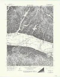
1964 Map of Parkville
USGS Topo · Published 1976About this map
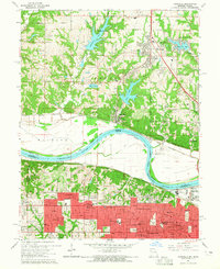
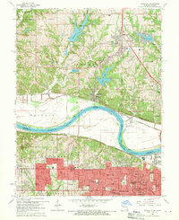
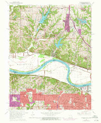
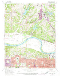
The Missouri River carves a sweeping arc through this landscape, defining the state boundary between Missouri and Kansas. On the Missouri side, the riverside community of Parkville and the nearby Riverside occupy the northern bottoms and bluffs, while residential growth is evident around Weatherby Lake, Waukomis Lake, and Riss Lake. The terrain transitions from the broad river floodplains into dissected uplands where several schools, including Northwest Jr High Sch and Haskell Sch, serve the developing suburbs of Kansas City.
Find a feature on this map
24 named features on this map. Tap any name to fly to it.
Don’t see what you’re looking for? This feature index may not catch every label — zoom into the map to look around manually.
Map Details
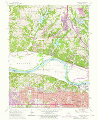
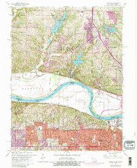
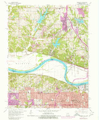
Editions of this 1964 Parkville Map
8 editions found
Other maps of this area

1890 · Kansas City
USGS Topo · 1:125,000

1894 · Kansas City
USGS Topo · 1:125,000

1910 · Leavenworth
USGS Topo · 1:62,500

1914 · Smithville
USGS Topo · 1:62,500

1934 · Bonner Springs
USGS Topo · 1:48,000

1934 · Shawnee
USGS Topo · 1:24,000

1934 · Edwardsville
USGS Topo · 1:24,000

1934 · Wolcott
USGS Topo · 1:24,000

1935 · Kansas City
USGS Topo · 1:24,000

1935 · North Kansas City
USGS Topo · 1:24,000