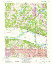
1964 Map of Parkville
USGS Topo · Published 1976About this map
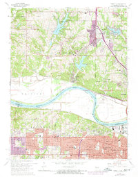
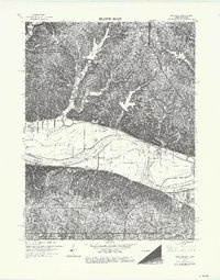
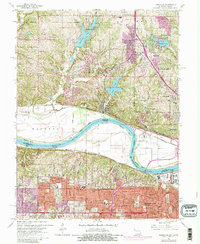
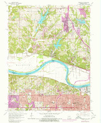
Park College stands prominently above the Missouri River in this detailed survey of the borderlands between Missouri and Kansas. The landscape is defined by the sharp bends of the river, including Pomeroy Bend and Quindaro Bend, which shaped the early industrial and residential development of the region. North of the river, the suburban growth of Platte Woods and Weatherby Lake contrasts with the dense urban grid of Kansas City to the south. This era of mapping documents the expansion of the metropolitan area, highlighted by the purple-tinted urban extensions around Riverside and Parkdale. For genealogists and local historians, the map preserves the locations of numerous community anchors, from the St Marys Cem to the site of Douglass Hospital and various parochial schools like Christ the King Sch and St Augustine Seminary.
Find a feature on this map
68 named features on this map. Tap any name to fly to it.
Don’t see what you’re looking for? This feature index may not catch every label — zoom into the map to look around manually.
Map Details
Editions of this 1964 Parkville Map
8 editions found
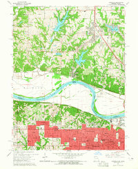
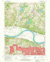
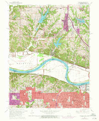
Other maps of this area

1890 · Kansas City
USGS Topo · 1:125,000

1894 · Kansas City
USGS Topo · 1:125,000

1910 · Leavenworth
USGS Topo · 1:62,500

1914 · Smithville
USGS Topo · 1:62,500

1934 · Bonner Springs
USGS Topo · 1:48,000

1934 · Shawnee
USGS Topo · 1:24,000

1934 · Edwardsville
USGS Topo · 1:24,000

1934 · Wolcott
USGS Topo · 1:24,000

1935 · Kansas City
USGS Topo · 1:24,000

1935 · North Kansas City
USGS Topo · 1:24,000