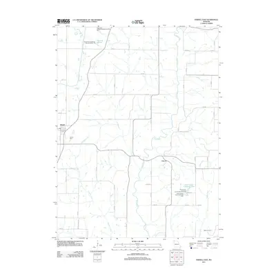
2011 Map of Parnell East
USGS Topo · Published 2011About this map
Parnell and the village of Oxford sit within a landscape defined by the drainage divide between the Platte River and the Grand River in northwestern Missouri. This 2011 survey captures the transition of the rural landscape toward conservation and water management, evidenced by the presence of the Worth County Community Lake and its associated Worth County Community Lake State Recreation Area. Small-scale water control is a recurring theme across the township, seen in features like Ponder Dam and the Platte River Tributaries Watershed Dam 7-B. For genealogists and local historians, the map preserves the location of Watkins Cemetery near the banks of Indian Creek, while a network of secondary routes like Nodaway Worth Rd and Pebble Rd connect the scattered homesteads and agricultural tracts that have long characterized the region.
Find a feature on this map
52 named features on this map. Tap any name to fly to it.
Don’t see what you’re looking for? This feature index may not catch every label — zoom into the map to look around manually.
Map Details
Editions of this 2011 Parnell East Map
This is the sole edition of this map. No revisions or reprints were ever made.
Other maps of this area

1940 · Blockton
USGS Topo · 1:62,500

1940 · Bedford
USGS Topo · 1:62,500

1940 · Parnell
USGS Topo · 1:62,500

1942 · Grant City
USGS Topo · 1:62,500

1943 · Bedford
USGS Topo · 1:62,500

1943 · Parnell
USGS Topo · 1:62,500

1943 · Grant City
USGS Topo · 1:62,500

1943 · Blockton
USGS Topo · 1:62,500

1955 · Nebraska City
USGS Topo · 1:250,000

1957 · Nebraska City
USGS Topo · 1:250,000