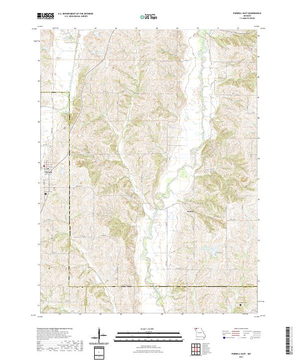
2021 Map of Parnell East
USGS Topo · Published 2021About this map
The Grand River and Platte River systems dominate the rural landscape of northwest Missouri, defining a region where river bends and creek drainage dictate the layout of farm roads and small communities. Parnell sits near the western boundary where Grantham Cr winds toward the south, while the small settlement of Oxford is positioned further east, close to the Worth County Community Lake. These towns represent the agricultural hubs of the borderlands between Worth, Nodaway, and Gentry counties.
Find a feature on this map
60 named features on this map. Tap any name to fly to it.
Don’t see what you’re looking for? This feature index may not catch every label — zoom into the map to look around manually.
Map Details
Editions of this 2021 Parnell East Map
This is the sole edition of this map. No revisions or reprints were ever made.
Other maps of this area

1940 · Blockton
USGS Topo · 1:62,500

1940 · Bedford
USGS Topo · 1:62,500

1940 · Parnell
USGS Topo · 1:62,500

1942 · Grant City
USGS Topo · 1:62,500

1943 · Bedford
USGS Topo · 1:62,500

1943 · Parnell
USGS Topo · 1:62,500

1943 · Grant City
USGS Topo · 1:62,500

1943 · Blockton
USGS Topo · 1:62,500

1955 · Nebraska City
USGS Topo · 1:250,000

1957 · Nebraska City
USGS Topo · 1:250,000