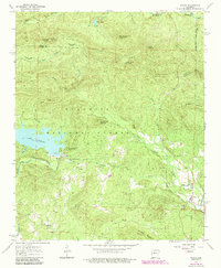
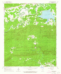
1963 Map of Paron
USGS Topo · Published 1984About this map
The Ouachita National Forest dominates this landscape, where the confluence of several branches of the Saline River system shapes the local geography. The northern reaches are defined by the North Fork Saline River and South Fork Saline River, while the Alum Fork Saline River flows through the southwest corner below the Lake Winona spillway. This 1963 survey captures the area before modern expansion, highlighting small settlements like Reform and Paron along with their respective community landmarks, including Buffalo Ch and Hester Chapel.
Find a feature on this map
37 named features on this map. Tap any name to fly to it.
Don’t see what you’re looking for? This feature index may not catch every label — zoom into the map to look around manually.
Map Details
Editions of this 1963 Paron Map
5 editions found

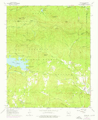
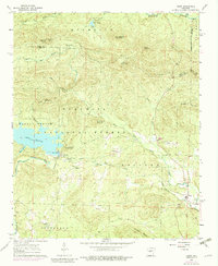
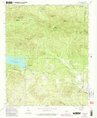
Other maps of this area

1890 · Benton
USGS Topo · 1:125,000

1894 · Benton
USGS Topo · 1:125,000

1938 · Benton
USGS Topo · 1:48,000

1944 · Benton
USGS Topo · 1:62,500

1955 · Little Rock
USGS Topo · 1:250,000

1956 · Little Rock
USGS Topo · 1:250,000

1960 · Little Rock
USGS Topo · 1:250,000

1963 · Paron SW
USGS Topo · 1:24,000
1963 · Thornburg
USGS Topo · 1:24,000

1963 · Fourche SW
USGS Topo · 1:24,000