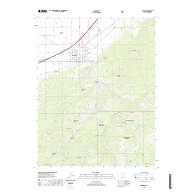
2020 Map of Parowan
USGS Topo · Published 2020About this map
Parowan sits at the base of the Hurricane Cliffs, where the valley floor meets the dramatic rise of the Markagunt Plateau. This geography is defined by the Hurricane Fault, which creates a sharp transition between the agricultural lands of Parowan Valley and the steep, wooded terrain of the Dixie National Forest. Within the town grid, the Parowan City Cemetery and the Parowan Airport serve as central landmarks, while the surrounding canyons are marked by distinct geological formations such as Vermillion Castle, Noahs Ark, and Grand Castle. To the south, Yankee Meadows Reservoir provides a significant water feature within the forest boundaries, while the First Mound archaeological site in the valley highlights the long history of human habitation in this corridor along Old US Hwy 91.
Find a feature on this map
70 named features on this map. Tap any name to fly to it.
Don’t see what you’re looking for? This feature index may not catch every label — zoom into the map to look around manually.
Map Details
Editions of this 2020 Parowan Map
This is the sole edition of this map. No revisions or reprints were ever made.
Other maps of this area

1886 · Kanab
USGS Topo · 1:250,000

1953 · Cedar City
USGS Topo · 1:250,000

1958 · Cedar City
USGS Topo · 1:250,000

1958 · Cedar Breaks
USGS Topo · 1:62,500

1958 · Panguitch Lake
USGS Topo · 1:62,500

1962 · Cedar City
USGS Topo · 1:250,000

1971 · Paragonah
USGS Topo · 1:24,000
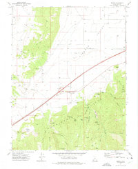
1971 · Summit
USGS Topo · 1:24,000
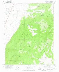
1971 · Cottonwood Mtn
USGS Topo · 1:24,000

1971 · Parowan
USGS Topo · 1:24,000