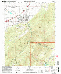
2002 Map of Parowan
USGS Topo · Published 2005About this map
Parowan serves as the focal point for this high-desert valley landscape, situated at the base of the massive Hurricane Cliffs. The town's grid is well-defined, featuring the Parowan High Sch, a local Cem, and recreation-oriented features like the Race Track and City Airport. Beyond the settlement, the terrain rises sharply into the Dixie National Forest, where steep canyons such as Dry Canyon and Left Hand Canyon cut through the uplifted rock.
Find a feature on this map
62 named features on this map. Tap any name to fly to it.
Don’t see what you’re looking for? This feature index may not catch every label — zoom into the map to look around manually.
Map Details
Editions of this 2002 Parowan Map
This is the sole edition of this map. No revisions or reprints were ever made.
Other maps of this area

1886 · Kanab
USGS Topo · 1:250,000

1953 · Cedar City
USGS Topo · 1:250,000

1958 · Cedar City
USGS Topo · 1:250,000

1958 · Cedar Breaks
USGS Topo · 1:62,500

1958 · Panguitch Lake
USGS Topo · 1:62,500

1962 · Cedar City
USGS Topo · 1:250,000

1971 · Paragonah
USGS Topo · 1:24,000
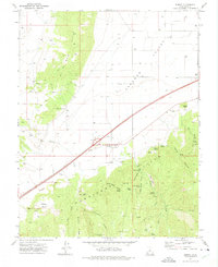
1971 · Summit
USGS Topo · 1:24,000
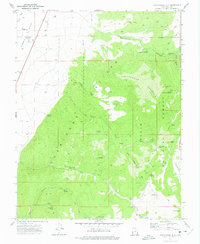
1971 · Cottonwood Mtn
USGS Topo · 1:24,000

1971 · Parowan
USGS Topo · 1:24,000