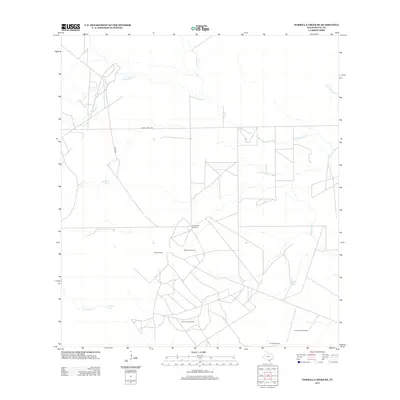
2013 Map of Parrilla Creek SE
USGS Topo · Published 2013About this map
Driscoll Camp sits at the heart of this South Texas landscape, where the seasonal hydrology of Duval County dictates the placement of essential ranching infrastructure. The map reveals an intricate network of water management features, notably the scattered named windmills and earthen reservoirs that sustain life in this arid environment. Key landmarks such as the Guadalupe Windmill and Medron Windmill are vital markers in a terrain defined by subtle elevation changes and the winding courses of ephemeral streams like Agua Poquita Cr and Parrilla Cr. The presence of several tanks, including Dick Tank and Guajillo Tank, underscores the importance of surface water collection. This region's connectivity is maintained via Ranch Road 2295 and Co Rd 285, which provide access to the remote ranching outposts and grazing lands characteristic of the South Texas plains.
Find a feature on this map
16 named features on this map. Tap any name to fly to it.
Don’t see what you’re looking for? This feature index may not catch every label — zoom into the map to look around manually.
Map Details
Editions of this 2013 Parrilla Creek SE Map
This is the sole edition of this map. No revisions or reprints were ever made.
Other maps of this area

1921 · Falfurrias
USGS Topo · 1:125,000

1956 · Benavides
USGS Topo · 1:62,500

1956 · Laredo
USGS Topo · 1:250,000

1967 · Parrilla Creek SE
USGS Topo · 1:24,000

1967 · Realitos
USGS Topo · 1:24,000

1967 · Hebbronville NW
USGS Topo · 1:24,000

1968 · Parrilla Creek SW
USGS Topo · 1:24,000

1968 · Benavides NW
USGS Topo · 1:24,000

1968 · Benavides
USGS Topo · 1:24,000

1968 · Parrilla Creek NW
USGS Topo · 1:24,000