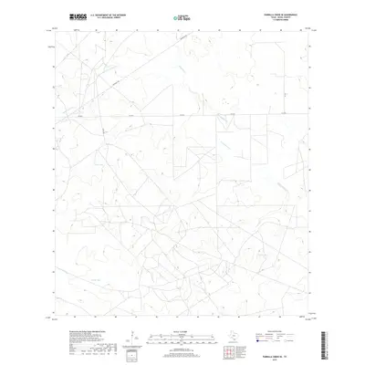
2019 Map of Parrilla Creek SE
USGS Topo · Published 2019About this map
Agua Poquita Cr and Parrilla Cr define the drainage patterns of this South Texas landscape, where intermittent water sources were vital for local ranching operations. The terrain is marked by essential livestock infrastructure, specifically the presence of Dick Tank, Guajillo Tank, and Novillo Tank, which are critical landmarks for understanding the area's agricultural history. Movement through this section of Duval County is facilitated by a network of rural roads, including Fm 2295 and Privranch Rd, providing access to the expansive ranch lands that characterize the region. The map also traces the winding paths of N Concepcion Cr and Concepcion Cr, illustrating the subtle topographical variations in this part of the state.
Find a feature on this map
11 named features on this map. Tap any name to fly to it.
Don’t see what you’re looking for? This feature index may not catch every label — zoom into the map to look around manually.
Map Details
Editions of this 2019 Parrilla Creek SE Map
This is the sole edition of this map. No revisions or reprints were ever made.
Other maps of this area

1921 · Falfurrias
USGS Topo · 1:125,000

1956 · Benavides
USGS Topo · 1:62,500

1956 · Laredo
USGS Topo · 1:250,000

1967 · Parrilla Creek SE
USGS Topo · 1:24,000

1967 · Realitos
USGS Topo · 1:24,000

1967 · Hebbronville NW
USGS Topo · 1:24,000

1968 · Parrilla Creek SW
USGS Topo · 1:24,000

1968 · Benavides NW
USGS Topo · 1:24,000

1968 · Benavides
USGS Topo · 1:24,000

1968 · Parrilla Creek NW
USGS Topo · 1:24,000