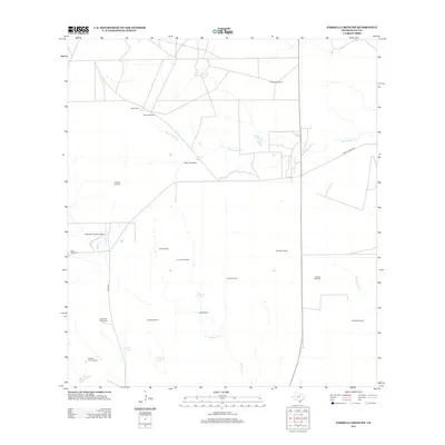
2013 Map of Parrilla Creek SW
USGS Topo · Published 2013About this map
The vast Duval County ranchlands are documented here through an intricate network of water management and cattle-rearing infrastructure. The importance of groundwater is evident in the numerous landmarks named for the family ranches they serve, such as Solo Ranch and Hamilton Ranch Airport. The map traces the winding courses of Agua Poquita Cr and Macho Cr, which are supplemented by various stock ponds and reservoirs like Valders Tank, Bivora Tank, and Leona Tank.
Find a feature on this map
26 named features on this map. Tap any name to fly to it.
Don’t see what you’re looking for? This feature index may not catch every label — zoom into the map to look around manually.
Map Details
Editions of this 2013 Parrilla Creek SW Map
This is the sole edition of this map. No revisions or reprints were ever made.
Other maps of this area

1939 · Bruni
USGS Topo · 1:62,500

1956 · Laredo
USGS Topo · 1:250,000

1967 · Parrilla Creek SE
USGS Topo · 1:24,000

1967 · Realitos
USGS Topo · 1:24,000

1967 · Hebbronville NW
USGS Topo · 1:24,000

1968 · Parrilla Creek SW
USGS Topo · 1:24,000

1968 · Mills Bennett
USGS Topo · 1:24,000

1968 · Parrilla Creek NW
USGS Topo · 1:24,000

1968 · Parrilla Creek NE
USGS Topo · 1:24,000

1968 · San Pablo
USGS Topo · 1:24,000