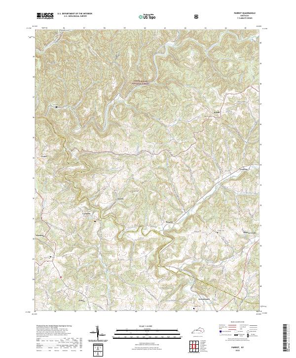
2022 Map of Parrot
USGS Topo · Published 2022About this map
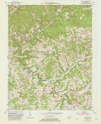
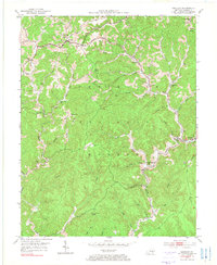
The Middle Fork Rockcastle River and South Fork Rockcastle River converge in this rugged section of the Daniel Boone National Forest on the border of Jackson and Laurel Counties. The landscape is defined by its ridge-and-valley structure, with Carpenter Ridge in the north and the Sheltowee Trace Trl winding through the forested terrain. Small, dispersed settlements like Dabolt, Victory, and Greenmount are scattered throughout the hills, often connected by winding routes such as the Victory Greenmount Rd.
Find a feature on this map
97 named features on this map. Tap any name to fly to it.
Don’t see what you’re looking for? This feature index may not catch every label — zoom into the map to look around manually.
Map Details
Editions of this 2022 Parrot Map
This is the sole edition of this map. No revisions or reprints were ever made.
Historical Maps of Victory Through Time
12 maps found
1952 Alcorn
Jackson County, KY
1952 Leighton
Jackson County, KY
1953 Mc Kee
Jackson County, KY
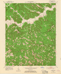
1953 Parrot
Jackson County, KY
1953 Sandgap
Jackson County, KY
1953 Tyner
Jackson County, KY
1976 Tyner
Jackson County, KY
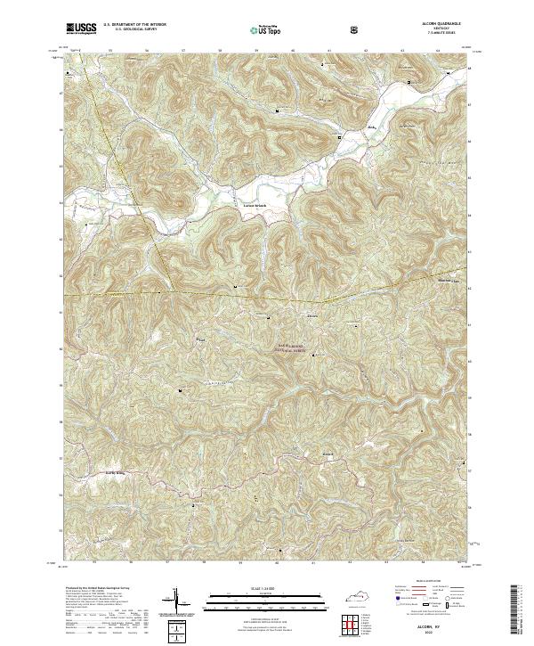
2022 Alcorn
Jackson County, KY
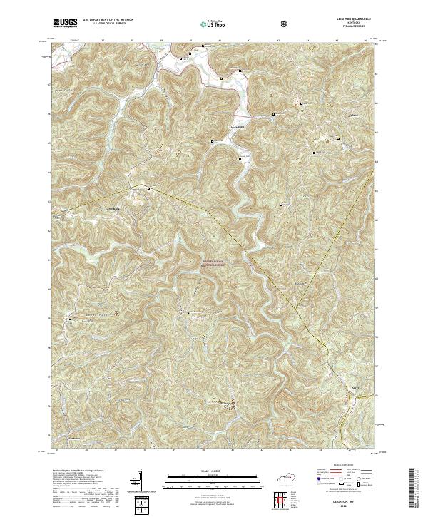
2022 Leighton
Jackson County, KY
2022 Parrot
Jackson County, KY
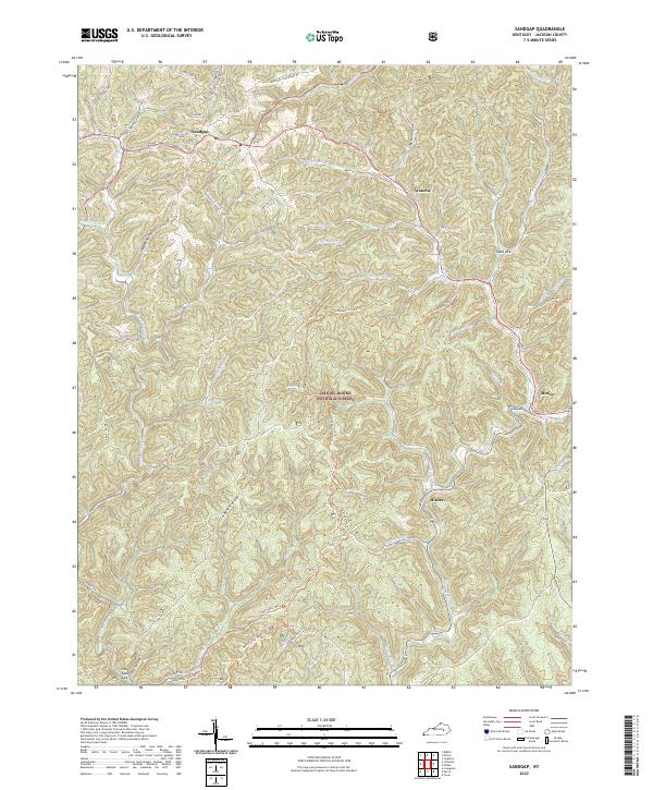
2022 Sandgap
Jackson County, KY
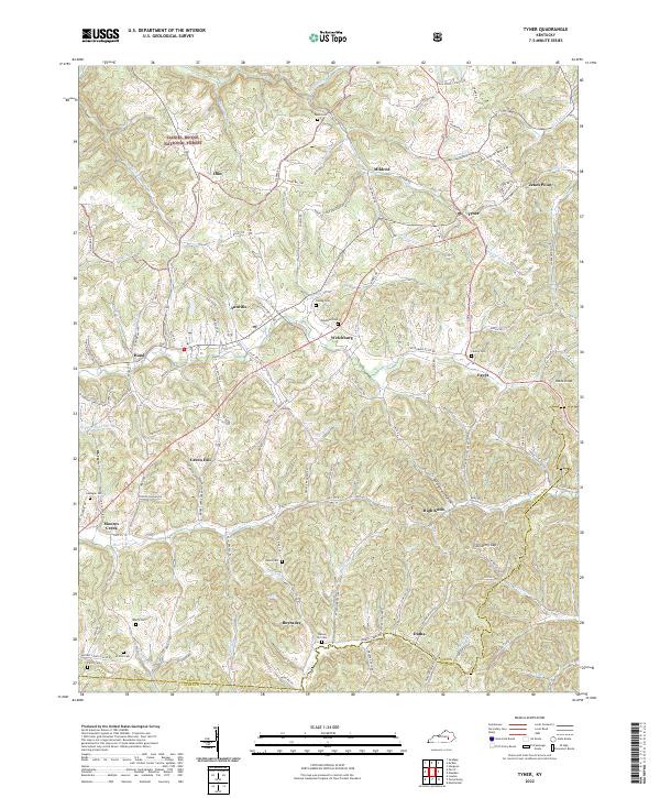
2022 Tyner
Jackson County, KY