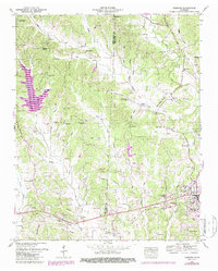
1950 Map of Parsons
USGS Topo · Published 1987About this map
Parsons serves as the primary municipal hub in this mid-century survey of the Tennessee river valley highlands. The landscape is defined by the Henderson Co Decatur Co line, which bisects a terrain of winding creek beds including Cub Creek, Darden Creek, and Johnson Creek. Much of the northwestern portion is dedicated to the Natchez Trace State Forest, featuring Dogwood Lake and the historical corridor of the Natchez Trace.
Find a feature on this map
85 named features on this map. Tap any name to fly to it.
Don’t see what you’re looking for? This feature index may not catch every label — zoom into the map to look around manually.
Map Details
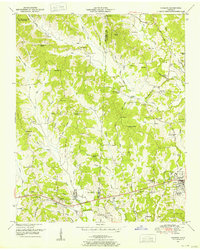
Editions of this 1950 Parsons Map
2 editions found
Other maps of this area

1936 · Yuma
USGS Topo · 1:24,000

1936 · Scotts Hill
USGS Topo · 1:24,000

1936 · Parsons
USGS Topo · 1:24,000

1936 · Jeannette
USGS Topo · 1:24,000

1936 · Reagan
USGS Topo · 1:24,000

1936 · Sugar Tree
USGS Topo · 1:24,000

1936 · Cavvia
USGS Topo · 1:24,000

1936 · Perryville
USGS Topo · 1:24,000

1936 · Chesterfield
USGS Topo · 1:24,000

1949 · Perryville
USGS Topo · 1:24,000