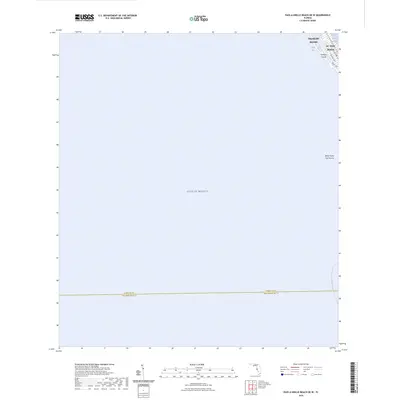
2024 Map of Pass-a-Grille Beach OE W
USGS Topo · Published 2024About this map
The coastal interface of Pinellas County meets the expansive Gulf of Mexico in this modern topographical survey. The map focuses on the barrier island communities of St. Pete Beach and Treasure Island, showing the dense street grids and residential patterns that characterize these waterfront destinations. Small local streets such as Coquina Way and Sunset Way indicate the intricate layout of these developed keys.
Find a feature on this map
11 named features on this map. Tap any name to fly to it.
Don’t see what you’re looking for? This feature index may not catch every label — zoom into the map to look around manually.
Map Details
Editions of this 2024 Pass-a-Grille Beach OE W Map
This is the sole edition of this map. No revisions or reprints were ever made.
Other maps of this area

1921 · Sand Key
USGS Topo · 1:62,500

1921 · Fort De Soto
USGS Topo · 1:62,500

1921 · St Petersburg
USGS Topo · 1:62,500

1943 · St Petersburg
USGS Topo · 1:31,680

1943 · Pass-A-Grille
USGS Topo · 1:31,680

1943 · Bay Pines
USGS Topo · 1:31,680

1944 · Egmont Key
USGS Topo · 1:31,680

1944 · Anna Maria
USGS Topo · 1:31,680

1947 · St Petersburg
USGS Topo · 1:25,000
1949 · Pass-A-Grille
USGS Topo · 1:25,000