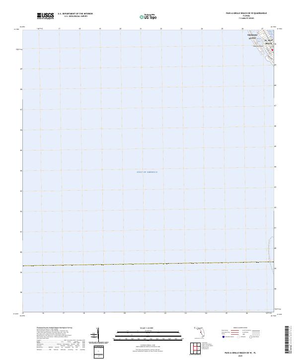
2025 Map of Pass-a-Grille Beach OE W
USGS Topo · Published 2025About this map
Treasure Island and St. Pete Beach occupy the northeastern corner of this coastal survey, where the barrier island landscape meets the open waters of the Gulf of America. The map documents a highly developed shoreline where residential corridors like Coquina Way and Sunset Way are situated just blocks from the surf. The geography is defined by the narrow tidal opening of Blind Pass, which connects the gulf to the protected waters of Boca Ciega Bay. Along the eastern edge of the gulf, the Florida Circumnavigational Paddling Trail follows the coast, offering a modern perspective on the maritime routes that have historically defined this part of Pinellas County. This perspective emphasizes the thin, vulnerable strip of land that supports these established Florida communities.
Find a feature on this map
9 named features on this map. Tap any name to fly to it.
Don’t see what you’re looking for? This feature index may not catch every label — zoom into the map to look around manually.
Map Details
Editions of this 2025 Pass-a-Grille Beach OE W Map
This is the sole edition of this map. No revisions or reprints were ever made.
Other maps of this area

1921 · Sand Key
USGS Topo · 1:62,500

1921 · Fort De Soto
USGS Topo · 1:62,500

1921 · St Petersburg
USGS Topo · 1:62,500

1943 · St Petersburg
USGS Topo · 1:31,680

1943 · Pass-A-Grille
USGS Topo · 1:31,680

1943 · Bay Pines
USGS Topo · 1:31,680

1944 · Egmont Key
USGS Topo · 1:31,680

1944 · Anna Maria
USGS Topo · 1:31,680

1947 · St Petersburg
USGS Topo · 1:25,000
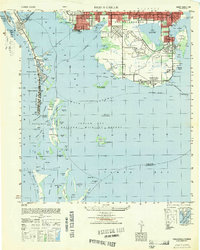
1949 · Pass-A-Grille
USGS Topo · 1:25,000