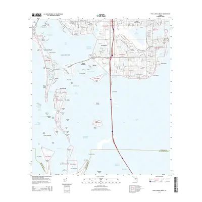
2015 Map of Pass-a-Grille Beach
USGS Topo · Published 2015About this map
Boca Ciega Bay and the barrier islands of Pinellas County define this coastal landscape, where the interconnected waterways of the Intracoastal Waterway meet the open Gulf of Mexico. The map highlights the extensive residential development of Saint Pete Beach and Gulfport, alongside the educational campus of Eckerd Coll near Maximo Channel. Further south, the intricate network of keys and passes—including Tierra Verde and the Pass-a-Grille South Channel—illustrates the complex transition from mainland Saint Petersburg to the sand-bound reaches of Long Key and Mullet Key. The infrastructure of the Sunshine Skyway provides a massive north-south corridor across Tampa Bay, connecting the tip of the peninsula at Point Pinellas toward the southern horizons. This mid-2010s survey documents a highly engineered coastline where dredged channels like Frenchman Creek and Dents Channel serve a dense maritime and residential community.
Find a feature on this map
89 named features on this map. Tap any name to fly to it.
Don’t see what you’re looking for? This feature index may not catch every label — zoom into the map to look around manually.
Map Details
Editions of this 2015 Pass-a-Grille Beach Map
This is the sole edition of this map. No revisions or reprints were ever made.
Other maps of this area

1921 · Sand Key
USGS Topo · 1:62,500

1921 · Fort De Soto
USGS Topo · 1:62,500

1921 · St Petersburg
USGS Topo · 1:62,500

1942 · Cockroach Bay
USGS Topo · 1:31,680

1943 · St Petersburg
USGS Topo · 1:31,680

1943 · Pass-A-Grille
USGS Topo · 1:31,680

1943 · Bay Pines
USGS Topo · 1:31,680

1943 · Port Tampa
USGS Topo · 1:31,680

1944 · Egmont Key
USGS Topo · 1:31,680

1944 · Anna Maria
USGS Topo · 1:31,680
Featured Places
- Saint Petersburg, FL
- Gulfport, Saint Petersburg
- Saint Pete Beach, FL
- South Pasadena, FL
- Tierra Verde, FL