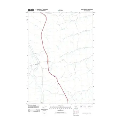
2011 Map of Pass Creek East
USGS Topo · Published 2011About this map
Aberdeen serves as a small focal point in this landscape of the Montana-Wyoming border region, where modern transportation corridors intersect with ancient drainage patterns. The settlement is positioned near the headwaters of Pass Creek, while the surrounding terrain is defined by a dense network of seasonal and perennial streams flowing from the high ground. To the north and east, significant watercourses such as Big Pine Creek and Wolf Creek carve through the area, alongside smaller drainages like Corral Creek and Line Rider Creek. The presence of Aberdeen Rd and East Aberdeen suggests the local importance of this small community, while Gannon Draw and Twin Creek dominate the southwestern portion of the map. This 2011 survey captures the area as it appeared in the early 21st century, illustrating how infrastructure follows the natural contours provided by the many creek valleys.
Find a feature on this map
17 named features on this map. Tap any name to fly to it.
Don’t see what you’re looking for? This feature index may not catch every label — zoom into the map to look around manually.
Map Details
Editions of this 2011 Pass Creek East Map
This is the sole edition of this map. No revisions or reprints were ever made.
Other maps of this area

1894 · Rosebud
USGS Topo · 1:125,000

1895 · Dayton
USGS Topo · 1:125,000

1901 · Rosebud
USGS Topo · 1:125,000

1901 · Dayton
USGS Topo · 1:125,000

1954 · Hardin
USGS Topo · 1:250,000

1955 · Sheridan
USGS Topo · 1:250,000

1957 · Hardin
USGS Topo · 1:250,000

1958 · Hardin
USGS Topo · 1:250,000

1958 · Sheridan
USGS Topo · 1:250,000

1962 · Sheridan
USGS Topo · 1:250,000