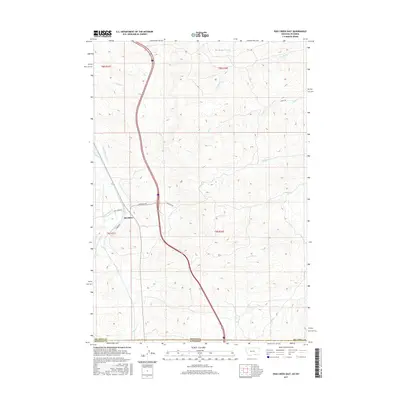
2017 Map of Pass Creek East
USGS Topo · Published 2017About this map
Aberdeen serves as the primary point of settlement in this northern high plains landscape, situated near the modern intersection of Aberdeen Rd and Pass Creek Rd. The terrain is defined by an intricate network of waterways draining toward the east and north, including Middle Pine Creek, Big Pine Creek, and Wyola Creek. This 2017 survey illustrates the enduring importance of water management in the region, evidenced by irrigation infrastructure such as the Upper Spear Ditch and Thompson Ditch. The map also documents the political geography of the area, as the Montana Wyoming state line bisects the territory, separating Big Horn County from Sheridan County just south of the local drainages of Line Rider Creek and Owl Creek.
Find a feature on this map
20 named features on this map. Tap any name to fly to it.
Don’t see what you’re looking for? This feature index may not catch every label — zoom into the map to look around manually.
Map Details
Editions of this 2017 Pass Creek East Map
This is the sole edition of this map. No revisions or reprints were ever made.
Other maps of this area

1894 · Rosebud
USGS Topo · 1:125,000

1895 · Dayton
USGS Topo · 1:125,000

1901 · Rosebud
USGS Topo · 1:125,000

1901 · Dayton
USGS Topo · 1:125,000

1954 · Hardin
USGS Topo · 1:250,000

1955 · Sheridan
USGS Topo · 1:250,000

1957 · Hardin
USGS Topo · 1:250,000

1958 · Hardin
USGS Topo · 1:250,000

1958 · Sheridan
USGS Topo · 1:250,000

1962 · Sheridan
USGS Topo · 1:250,000