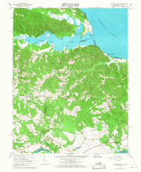
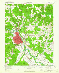
1966 Map of Passapatanzy
USGS Topo · Published 1968About this map
Passapatanzy and the surrounding neck of land between the Potomac Creek and the Rappahannock River define this mid-1960s landscape. This tidewater region is characterized by numerous small named corners and settlements, reflecting a transition from traditional river-oriented life to a road-based community network. The northern boundary is marked by dramatic coastal features like Bull Bluff and Crows Nest Point, while the interior is dotted with local landmarks such as Fletchers Chapel and Mountain View Ch.
Find a feature on this map
49 named features on this map. Tap any name to fly to it.
Don’t see what you’re looking for? This feature index may not catch every label — zoom into the map to look around manually.
Map Details
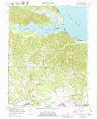
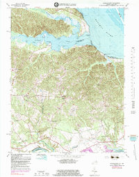
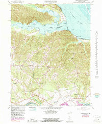
Editions of this 1966 Passapatanzy Map
4 editions found
Other maps of this area

1889 · Fredericksburg
USGS Topo · 1:125,000

1892 · Fredericksburg
USGS Topo · 1:125,000

1894 · Fredericksburg
USGS Topo · 1:125,000

1913 · Nanjemoy
USGS Topo · 1:62,500

1926 · Stafford
USGS Topo · 1:62,500

1931 · Stafford
USGS Topo · 1:62,500

1942 · Guinea
USGS Topo · 1:31,680

1942 · Port Royal
USGS Topo · 1:31,680

1942 · Rappahannock Academy
USGS Topo · 1:31,680
1943 · Fredericksburg
USGS Topo · 1:24,000