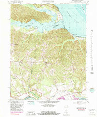
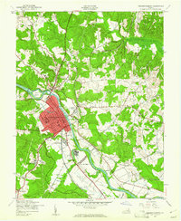
1966 Map of Passapatanzy
USGS Topo · Published 1990About this map
Potomac Creek meets the Potomac River in this detailed look at a coastal Virginia landscape, where tidal marshes and river landings define the local geography. The map documents a cluster of named landings and points, such as Marlboro Point, Old Landing Point, and Spilmans Landing, reflecting the area's deep connection to riverine transit. Further inland, the settlement of Passapatanzy serves as a central hub for a network of crossroads communities including Cox Corner, Johnsons Corner, and Fines Corner.
Find a feature on this map
51 named features on this map. Tap any name to fly to it.
Don’t see what you’re looking for? This feature index may not catch every label — zoom into the map to look around manually.
Map Details
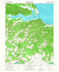
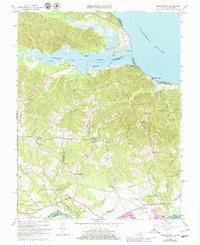
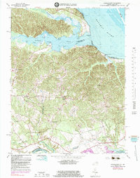
Editions of this 1966 Passapatanzy Map
4 editions found
Other maps of this area

1889 · Fredericksburg
USGS Topo · 1:125,000

1892 · Fredericksburg
USGS Topo · 1:125,000

1894 · Fredericksburg
USGS Topo · 1:125,000

1913 · Nanjemoy
USGS Topo · 1:62,500

1926 · Stafford
USGS Topo · 1:62,500

1931 · Stafford
USGS Topo · 1:62,500

1942 · Guinea
USGS Topo · 1:31,680

1942 · Port Royal
USGS Topo · 1:31,680

1942 · Rappahannock Academy
USGS Topo · 1:31,680
1943 · Fredericksburg
USGS Topo · 1:24,000