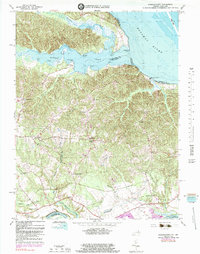
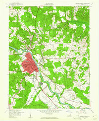
1966 Map of Passapatanzy
USGS Topo · Published 1983About this map
Potomac Creek and its diverse shoreline dominate this landscape where Stafford and King George counties meet. The interior terrain is defined by a dense network of smaller drainages, such as Beaverdam Run and Black Swamp, which flow into the larger tidal waters of the Potomac River and Rappahannock River. Local settlement patterns are centered around historic road junctions like Passapatanzy, Sealston, and Johnsons Corner.
Find a feature on this map
46 named features on this map. Tap any name to fly to it.
Don’t see what you’re looking for? This feature index may not catch every label — zoom into the map to look around manually.
Map Details
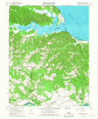
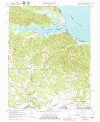
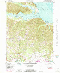
Editions of this 1966 Passapatanzy Map
4 editions found
Other maps of this area

1889 · Fredericksburg
USGS Topo · 1:125,000

1892 · Fredericksburg
USGS Topo · 1:125,000

1894 · Fredericksburg
USGS Topo · 1:125,000

1913 · Nanjemoy
USGS Topo · 1:62,500

1926 · Stafford
USGS Topo · 1:62,500

1931 · Stafford
USGS Topo · 1:62,500

1942 · Guinea
USGS Topo · 1:31,680

1942 · Port Royal
USGS Topo · 1:31,680

1942 · Rappahannock Academy
USGS Topo · 1:31,680
1943 · Fredericksburg
USGS Topo · 1:24,000