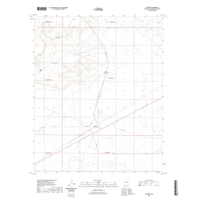
2020 Map of Pastura
USGS Topo · Published 2020About this map
Pastura sits at the center of this high-plains landscape in Guadalupe County, where modern infrastructure meets a traditional ranching environment. The settlement is positioned near the base of Argonne Mesa, a prominent landform that overlooks a series of topographical breaks including Collins Canyon and Little Canyon. To the north, the terrain is defined by drainage systems such as Cañada Bonita and Arroyo El Ojito, which eventually give way to flatter expanses toward the southeast. Local transportation is facilitated by named routes like Muniz Rd and several county roads, which connect the isolated homesteads and grazing lands typical of this region of New Mexico. In the lower reaches of the quadrangle, Mayter Lake serves as a notable hydrologic feature in an otherwise arid environment characterized by significant elevation changes near Kipping Canyon.
Find a feature on this map
18 named features on this map. Tap any name to fly to it.
Don’t see what you’re looking for? This feature index may not catch every label — zoom into the map to look around manually.
Map Details
Editions of this 2020 Pastura Map
This is the sole edition of this map. No revisions or reprints were ever made.
Other maps of this area

1954 · Fort Sumner
USGS Topo · 1:250,000

1958 · Fort Sumner
USGS Topo · 1:250,000
1978 · Tapia Ranch
USGS Topo · 1:24,000
1978 · Pintada
USGS Topo · 1:24,000
1978 · San Ignacio
USGS Topo · 1:24,000
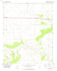
1978 · Pastura NE
USGS Topo · 1:24,000

1978 · Laguna De Los Terreros
USGS Topo · 1:24,000
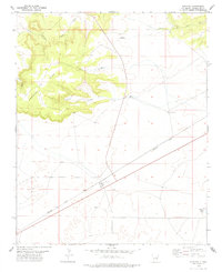
1978 · Pastura
USGS Topo · 1:24,000

1978 · El Morro Ranch NW
USGS Topo · 1:24,000
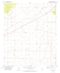
1978 · Pastura SE
USGS Topo · 1:24,000