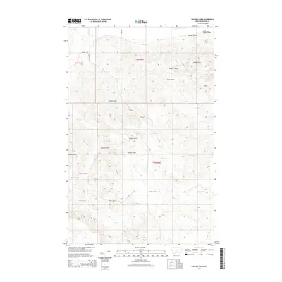
2014 Map of Pasture Creek
USGS Topo · Published 2014About this map
Garfield Spring serves as a critical water source in this portion of McCone County, where a complex network of coulees and creeks carves through the high plains. The drainage patterns are defined by significant features such as Hancock Coulee, Millers Coulee, and Green Coulee, which all direct seasonal runoff toward the larger creek systems. The terrain is marked by distinct elevations including Maxwell Hill and the dramatic drop of Wildcat Canyon. This landscape reflects the ranching and agricultural heritage of the region, where roads like Ferry Rd and Maxwell Hill Rd provide access through the undulating country. The distribution of named coulees like Widow Coulee and Costella Coulee suggests a long history of local naming conventions tied to early settlers and geographical landmarks.
Find a feature on this map
26 named features on this map. Tap any name to fly to it.
Don’t see what you’re looking for? This feature index may not catch every label — zoom into the map to look around manually.
Map Details
Editions of this 2014 Pasture Creek Map
This is the sole edition of this map. No revisions or reprints were ever made.
Other maps of this area

1915 · Frazer
USGS Topo · 1:62,500

1915 · Oswego
USGS Topo · 1:62,500

1954 · Jordan
USGS Topo · 1:250,000

1954 · Glendive
USGS Topo · 1:250,000

1954 · Wolf Point
USGS Topo · 1:250,000

1954 · Glasgow
USGS Topo · 1:250,000

1956 · Jordan
USGS Topo · 1:250,000

1957 · Glasgow
USGS Topo · 1:250,000

1957 · Glendive
USGS Topo · 1:250,000

1958 · Wolf Point
USGS Topo · 1:250,000