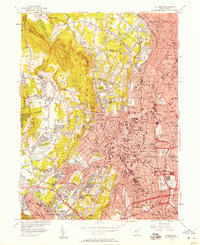
1955 Map of Paterson
USGS Topo · Published 1957About this map
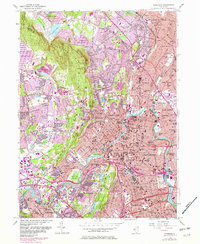
The Passaic River anchors this mid-century view of industrial and residential growth across the Paterson and Clifton landscape. The dense urban grid of the river valley contrasts sharply with the looming presence of Second Watchung Mountain and High Mountain to the west. This 1955 revision shows a region in heavy transition, with infrastructure like the Garden State Parkway and the Erie RR cutting through established neighborhoods and past numerous institutional sites like the State Teachers College and the Sanatorium.
Find a feature on this map
119 named features on this map. Tap any name to fly to it.
Don’t see what you’re looking for? This feature index may not catch every label — zoom into the map to look around manually.
Map Details
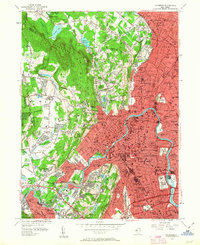
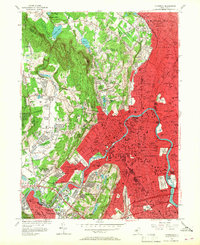
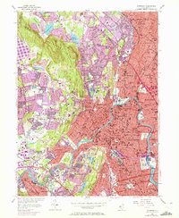
Editions of this 1955 Paterson Map
6 editions found
Other maps of this area

1888 · Morristown
USGS Topo · 1:62,500

1888 · Paterson
USGS Topo · 1:62,500

1891 · Greenwood Lake
USGS Topo · 1:62,500

1891 · Ramapo
USGS Topo · 1:62,500

1892 · Paterson
USGS Topo · 1:62,500

1893 · Greenwood Lake
USGS Topo · 1:62,500

1893 · Ramapo
USGS Topo · 1:62,500

1894 · Morristown
USGS Topo · 1:62,500

1898 · Morristown
USGS Topo · 1:62,500

1898 · Paterson
USGS Topo · 1:62,500