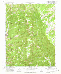
1972 Map of Patmos Head
USGS Topo · Published 1976About this map
The rugged industrial and pastoral landscape of Patmos Ridge is meticulously documented in this 1972 survey. The western edge of the quadrangle is dominated by the operations of the Sunnyside Mine and the historical location of the Upper Sunnyside (Site). These industrial features, connected by the Whitmore Canyon Road, reflect the high-desert mining activity that has long shaped Carbon County.
Find a feature on this map
34 named features on this map. Tap any name to fly to it.
Don’t see what you’re looking for? This feature index may not catch every label — zoom into the map to look around manually.
Map Details
Editions of this 1972 Patmos Head Map
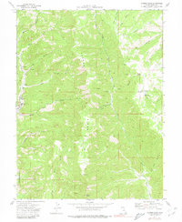
2 editions found
Other maps of this area

1886 · Price River
USGS Topo · 1:250,000

1896 · Price River
USGS Topo · 1:250,000

1915 · Sunnyside
USGS Topo · 1:62,500

1948 · Woodside
USGS Topo · 1:62,500

1949 · Woodside
USGS Topo · 1:62,500

1950 · Woodside
USGS Topo · 1:62,500

1954 · Flat Canyon
USGS Topo · 1:62,500

1954 · Range Creek
USGS Topo · 1:62,500

1956 · Price
USGS Topo · 1:250,000

1960 · Price
USGS Topo · 1:250,000