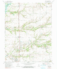
1974 Map of Patoka
USGS Topo · Published 1991About this map
The Illinois Central Gulf railroad serves as a central artery through this southern Illinois landscape, connecting the settlements of Shobonier, Vernon, and Patoka. The region's industrial character is defined by the energy sector, featuring the extensive Patoka Oil Field and Patoka East Oil Field, along with a significant concentration of Tank Farms. These industrial sites sit alongside a traditional agricultural and riverine environment shaped by the Kaskaskia River and the northern reaches of Carlyle Lake.
Find a feature on this map
42 named features on this map. Tap any name to fly to it.
Don’t see what you’re looking for? This feature index may not catch every label — zoom into the map to look around manually.
Map Details
Editions of this 1974 Patoka Map
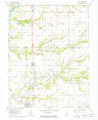
2 editions found
Other maps of this area

1914 · Centralia
USGS Topo · 1:62,500

1934 · Salem
USGS Topo · 1:62,500

1935 · Centralia
USGS Topo · 1:62,500

1938 · Salem
USGS Topo · 1:62,500

1945 · Kinmundy
USGS Topo · 1:62,500

1945 · Vandalia
USGS Topo · 1:62,500

1947 · Vandalia
USGS Topo · 1:62,500

1947 · Kinmundy
USGS Topo · 1:62,500

1958 · Belleville
USGS Topo · 1:250,000

1962 · Belleville
USGS Topo · 1:250,000