2012 Map of Patricia
USGS Topo · Published 2012About this map
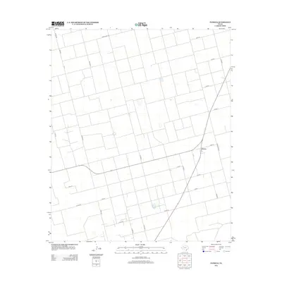
Patricia stands as the central point of activity in this section of Dawson County, located at the junction of several key regional routes. The landscape is defined by an orderly, rectilinear grid of rural roads, illustrating the organized land division typical of the Texas South Plains. Primary access to the settlement is provided via Ranch Road 829 and Ranch Road 2051, which connect the small community to the broader agricultural region. A complex network of county roads, including Co Road AA, Co Road BB, and Co Road F, facilitates movement between farmsteads and fields. This 2012 survey captures the area's enduring rural character, where the infrastructure is built primarily to support the vast expanses of the surrounding West Texas terrain.
Find a feature on this map
26 named features on this map. Tap any name to fly to it.
Don’t see what you’re looking for? This feature index may not catch every label — zoom into the map to look around manually.
Map Details
Editions of this 2012 Patricia Map
This is the sole edition of this map. No revisions or reprints were ever made.
Other maps of this area

1954 · Hobbs
USGS Topo · 1:250,000

1954 · Big Spring
USGS Topo · 1:250,000

1958 · Big Spring
USGS Topo · 1:250,000

1958 · Hobbs
USGS Topo · 1:250,000

1966 · Wolcott Ranch
USGS Topo · 1:24,000

1966 · Flower Grove
USGS Topo · 1:24,000

1966 · Scharbauer Ranch
USGS Topo · 1:24,000

1970 · Patricia SW
USGS Topo · 1:24,000

1970 · Patricia
USGS Topo · 1:24,000

1970 · Lamesa South
USGS Topo · 1:24,000