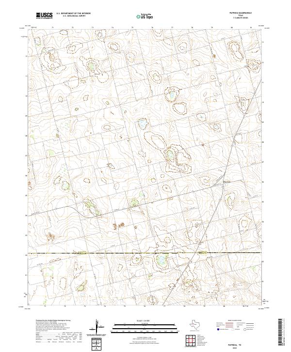
2022 Map of Patricia
USGS Topo · Published 2022About this map
Patricia serves as the central focal point of this West Texas landscape, situated along the southern border of Dawson Co where it meets Martin Co. The area is defined by a dense grid of rural corridors, including Ranch Rd 703 and Ranch Rd 829, which facilitate movement across the agricultural and ranching terrain. The survey captures a moment of modern rural infrastructure, showing how local roads like Co Rd 30 and Co Rd 5100 connect isolated homesteads and work sites to the larger regional network. This layout reflects the enduring organized spatial patterns of the Llano Estacado, where long straightaways and sharp right-angle junctions dominate the geography of the high plains.
Find a feature on this map
28 named features on this map. Tap any name to fly to it.
Don’t see what you’re looking for? This feature index may not catch every label — zoom into the map to look around manually.
Map Details
Editions of this 2022 Patricia Map
This is the sole edition of this map. No revisions or reprints were ever made.
Other maps of this area

1954 · Hobbs
USGS Topo · 1:250,000

1954 · Big Spring
USGS Topo · 1:250,000

1958 · Big Spring
USGS Topo · 1:250,000

1958 · Hobbs
USGS Topo · 1:250,000

1966 · Wolcott Ranch
USGS Topo · 1:24,000

1966 · Flower Grove
USGS Topo · 1:24,000

1966 · Scharbauer Ranch
USGS Topo · 1:24,000

1970 · Patricia SW
USGS Topo · 1:24,000

1970 · Patricia
USGS Topo · 1:24,000

1970 · Lamesa South
USGS Topo · 1:24,000