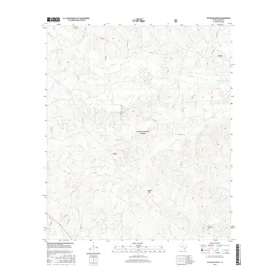
2016 Map of Patroon North
USGS Topo · Published 2016About this map
Sabine National Forest dominates this section of eastern Shelby County, where a dense network of bayous and creeks defines the drainage patterns of the Texas piney woods. Small rural settlements like Huxley and Dreka are connected by a web of farm-to-market roads and county routes, illustrating the modern residential footprint within the managed timberlands. The northeastern corner of the map reaches the edge of the Toledo Bend Reservoir, a major geographic feature on the Louisiana border.
Find a feature on this map
44 named features on this map. Tap any name to fly to it.
Don’t see what you’re looking for? This feature index may not catch every label — zoom into the map to look around manually.
Map Details
Editions of this 2016 Patroon North Map
This is the sole edition of this map. No revisions or reprints were ever made.
Other maps of this area

1944 · Logansport
USGS Topo · 1:62,500

1944 · Patroon
USGS Topo · 1:62,500

1953 · Alexandria
USGS Topo · 1:250,000

1953 · Palestine
USGS Topo · 1:250,000

1955 · Alexandria
USGS Topo · 1:250,000

1956 · Logansport
USGS Topo · 1:62,500

1956 · Patroon
USGS Topo · 1:62,500

1957 · Palestine
USGS Topo · 1:250,000

1958 · Center
USGS Topo · 1:62,500

1958 · San Augustine
USGS Topo · 1:62,500