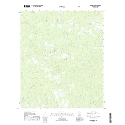
2019 Map of Patroon North
USGS Topo · Published 2019About this map
Sabine National Forest dominates the topography of this eastern Shelby County landscape, where the mixed pine-hardwood woodlands are intersected by an intricate network of creeks and bayous. The small settlements of Huxley in the northeast and Dreka in the central portion serve as focal points for a rural road system that includes FM 139 and numerous county routes. The drainage patterns are particularly well-defined, featuring the winding courses of Bayou Siep, North Bayou Blue, and South Bayou Blue as they move through the forest towards the Toledo Bend Reservoir area just to the east.
Find a feature on this map
49 named features on this map. Tap any name to fly to it.
Don’t see what you’re looking for? This feature index may not catch every label — zoom into the map to look around manually.
Map Details
Editions of this 2019 Patroon North Map
This is the sole edition of this map. No revisions or reprints were ever made.
Other maps of this area

1944 · Logansport
USGS Topo · 1:62,500

1944 · Patroon
USGS Topo · 1:62,500

1953 · Alexandria
USGS Topo · 1:250,000

1953 · Palestine
USGS Topo · 1:250,000

1955 · Alexandria
USGS Topo · 1:250,000

1956 · Logansport
USGS Topo · 1:62,500

1956 · Patroon
USGS Topo · 1:62,500

1957 · Palestine
USGS Topo · 1:250,000

1958 · Center
USGS Topo · 1:62,500

1958 · San Augustine
USGS Topo · 1:62,500