
1944 Map of Patroon
USGS Topo · Published 1944This historical map portrays the area of Patroon in 1944, primarily covering Shelby County as well as portions of Louisiana. Featuring a scale of 1:62500, this map provides a highly detailed snapshot of the terrain, roads, buildings, counties, and historical landmarks in the Patroon region at the time. Published in 1944, it is one of 2 known editions of this map due to revisions or reprints.
Find a feature on this map
80 named features on this map. Tap any name to fly to it.
Don’t see what you’re looking for? This feature index may not catch every label — zoom into the map to look around manually.
Map Details
Editions of this 1944 Patroon Map
2 editions found
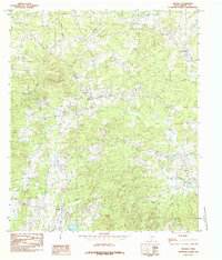
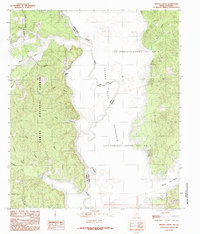
Historical Maps of Ragtown Through Time
14 maps found
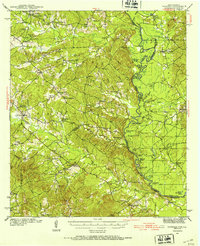
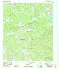
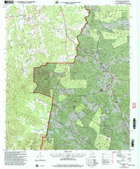
1944 Patroon
Shelby County, TX
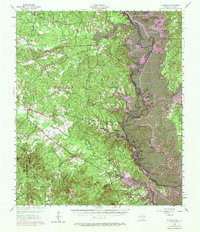
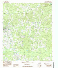
1956 Patroon
Shelby County, TX
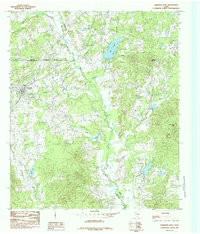
1984 Arcadia
Shelby County, TX
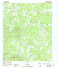
1984 Brushy Creek
Shelby County, TX
1984 Garrison East
Shelby County, TX
1984 Hurstown
Shelby County, TX
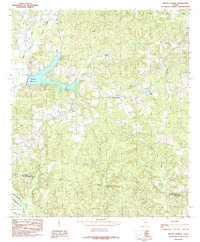
1984 Mount Herman
Shelby County, TX
1984 Neuville
Shelby County, TX
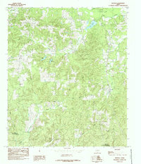
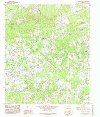
1984 Patroon North
Shelby County, TX
1984 Tenaha East
Shelby County, TX
1984 Tenaha West
Shelby County, TX
2003 Brushy Creek
Shelby County, TX
2003 Hurstown
Shelby County, TX
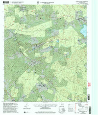
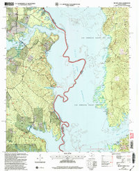
2003 Patroon North
Shelby County, TX