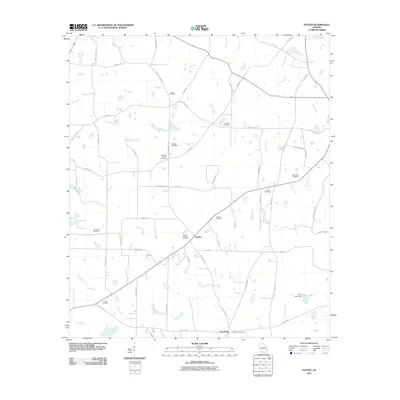
2011 Map of Patten
USGS Topo · Published 2011About this map
Patten and Five Forks serve as central points for this landscape in southern Georgia, where a dense network of family and community cemeteries reveals the deep genealogical roots of the region. The map shows a high concentration of memorial sites, including Gandy Cemetery, Lasseter Cemetery, and Martin Cemetery, many tucked away near road junctions or field edges. The terrain is defined by the headwaters and drainage of several watercourses, most notably the Aucilla River and Piscola Creek, which meander through a grid of rural routes such as Patten Coolidge Rd and Harts Mill Rd. At Tyler Lake, the Tyler Lake Dam marks one of the few instances of water management in an otherwise largely agrarian landscape. The distribution of these burial grounds and small settlements suggests a long-standing rural community structure centered around local landmarks like Antioch Cemetery and Mount Calvary Cemetery.
Find a feature on this map
57 named features on this map. Tap any name to fly to it.
Don’t see what you’re looking for? This feature index may not catch every label — zoom into the map to look around manually.
Map Details
Editions of this 2011 Patten Map
This is the sole edition of this map. No revisions or reprints were ever made.
Other maps of this area

1953 · Waycross
USGS Topo · 1:250,000

1954 · Valdosta
USGS Topo · 1:250,000

1957 · Thomasville
USGS Topo · 1:62,500

1958 · Valdosta
USGS Topo · 1:250,000

1958 · Waycross
USGS Topo · 1:250,000

1959 · Valdosta
USGS Topo · 1:250,000

1961 · Quitman
USGS Topo · 1:62,500
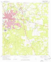
1975 · Thomasville
USGS Topo · 1:24,000
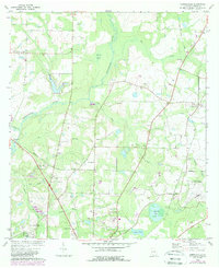
1975 · Merrillville
USGS Topo · 1:24,000
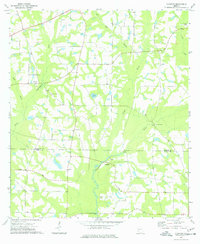
1977 · Chastain
USGS Topo · 1:24,000