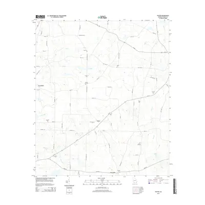
2014 Map of Patten
USGS Topo · Published 2014About this map
Patten and Merrillville anchor this portion of Thomas County, where a network of rural roads such as Patten Speedway Rd and Coffee Rd connect a landscape of timber and agricultural tracts. The geography is defined by a dense concentration of family and community burial grounds, including Kennedy Chapel Cem, Mt Calvary Cem, and Aucilla Cem, providing significant points of interest for genealogists tracing local lineage. The drainage pattern here is complex, with the Aucilla River winding through the southwestern corner while Piscola Cr and Big Cr move through the center and northern reaches. Notable landmarks like Tyler Lake and the intersection at Five Forks Rd illustrate the local importance of specific water features and road junctions in this corner of southern Georgia.
Find a feature on this map
64 named features on this map. Tap any name to fly to it.
Don’t see what you’re looking for? This feature index may not catch every label — zoom into the map to look around manually.
Map Details
Editions of this 2014 Patten Map
This is the sole edition of this map. No revisions or reprints were ever made.
Other maps of this area

1953 · Waycross
USGS Topo · 1:250,000

1954 · Valdosta
USGS Topo · 1:250,000

1957 · Thomasville
USGS Topo · 1:62,500

1958 · Valdosta
USGS Topo · 1:250,000

1958 · Waycross
USGS Topo · 1:250,000

1959 · Valdosta
USGS Topo · 1:250,000

1961 · Quitman
USGS Topo · 1:62,500
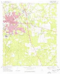
1975 · Thomasville
USGS Topo · 1:24,000
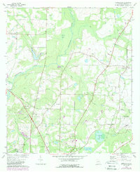
1975 · Merrillville
USGS Topo · 1:24,000
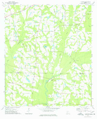
1977 · Chastain
USGS Topo · 1:24,000