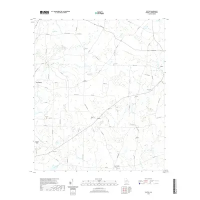
2020 Map of Patten
USGS Topo · Published 2020About this map
Patten and Merrillville anchor this corner of South Georgia, where a dense network of country roads connects family cemeteries and small rural congregations. The landscape is defined by the winding course of the Aucilla River and its numerous tributaries, including Piscola Cr and Big Cr. Genealogists will find a concentration of local burial sites like Gandy Cem, Antioch Cem, and Kennedy Chapel Cem, often situated near historic road junctions such as Five Forks. On the western edge, the Thomasville Regional Airport represents modern regional connectivity, contrasting with the traditional land use patterns indicated by widespread wetlands and named water bodies like Murphys Pond and Tyler Lake. This 2020 update documents the enduring rural character and established property boundaries of the region just west of Pavo.
Find a feature on this map
69 named features on this map. Tap any name to fly to it.
Don’t see what you’re looking for? This feature index may not catch every label — zoom into the map to look around manually.
Map Details
Editions of this 2020 Patten Map
This is the sole edition of this map. No revisions or reprints were ever made.
Other maps of this area

1953 · Waycross
USGS Topo · 1:250,000

1954 · Valdosta
USGS Topo · 1:250,000

1957 · Thomasville
USGS Topo · 1:62,500

1958 · Valdosta
USGS Topo · 1:250,000

1958 · Waycross
USGS Topo · 1:250,000

1959 · Valdosta
USGS Topo · 1:250,000

1961 · Quitman
USGS Topo · 1:62,500
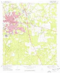
1975 · Thomasville
USGS Topo · 1:24,000
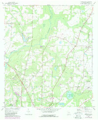
1975 · Merrillville
USGS Topo · 1:24,000
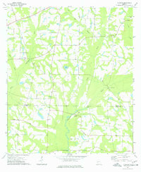
1977 · Chastain
USGS Topo · 1:24,000