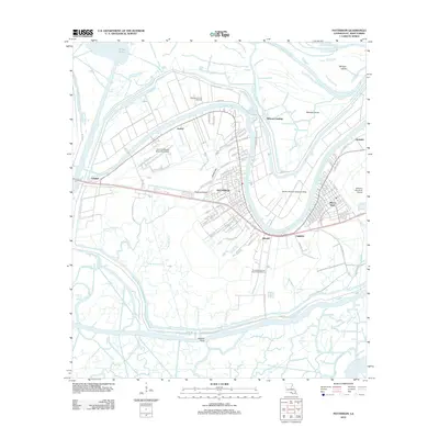
2012 Map of Patterson
USGS Topo · Published 2012About this map
Bayou Teche and the Lower Atchafalaya River converge in this corner of St. Mary Parish, defining the industrial and transportation network of Patterson. The town’s history with aviation and energy is clearly marked by the Harry P Williams Memorial Airport and the neighboring Patterson Oil and Gas Field, while the Aquatic Aviation Seaplane Base on the river indicates the local importance of water-based transport.
Find a feature on this map
105 named features on this map. Tap any name to fly to it.
Don’t see what you’re looking for? This feature index may not catch every label — zoom into the map to look around manually.
Map Details
Editions of this 2012 Patterson Map
This is the sole edition of this map. No revisions or reprints were ever made.
Other maps of this area

1935 · Belle Isle
USGS Topo · 1:31,680

1935 · Morgan City
USGS Topo · 1:62,500

1941 · Belle Isle
USGS Topo · 1:62,500

1945 · New Orleans
USGS Topo · 1:250,000

1948 · Foster
USGS Topo · 1:62,500

1953 · Napoleonville
USGS Topo · 1:62,500

1954 · Morgan City
USGS Topo · 1:62,500

1954 · Belle Isle
USGS Topo · 1:62,500

1959 · Foster
USGS Topo · 1:62,500

1963 · New Orleans
USGS Topo · 1:250,000