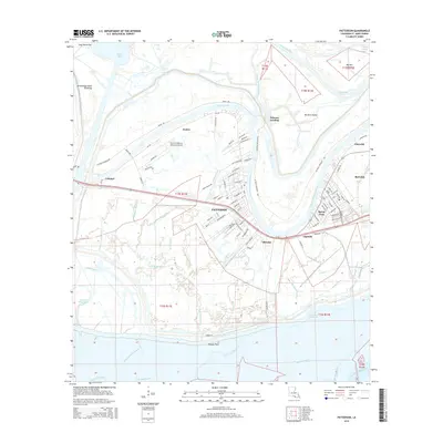
2015 Map of Patterson
USGS Topo · Published 2015About this map
Bayou Teche defines the northern edge of this coastal landscape, winding past the town of Patterson and smaller riverfront settlements like Calumet and Avalon. This modern survey reveals a region defined by the intersection of traditional waterways and industrial infrastructure, where the Intracoastal Waterway and the Lower Atchafalaya River converge south of Berwick. The geography shifts from the developed corridors along Route 90 to the vast wetlands of the Atchafalaya Basin Floodway.
Find a feature on this map
133 named features on this map. Tap any name to fly to it.
Don’t see what you’re looking for? This feature index may not catch every label — zoom into the map to look around manually.
Map Details
Editions of this 2015 Patterson Map
This is the sole edition of this map. No revisions or reprints were ever made.
Other maps of this area

1935 · Belle Isle
USGS Topo · 1:31,680

1935 · Morgan City
USGS Topo · 1:62,500

1941 · Belle Isle
USGS Topo · 1:62,500

1945 · New Orleans
USGS Topo · 1:250,000

1948 · Foster
USGS Topo · 1:62,500

1953 · Napoleonville
USGS Topo · 1:62,500

1954 · Morgan City
USGS Topo · 1:62,500

1954 · Belle Isle
USGS Topo · 1:62,500

1959 · Foster
USGS Topo · 1:62,500

1963 · New Orleans
USGS Topo · 1:250,000