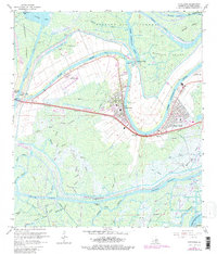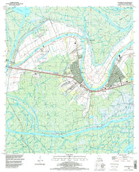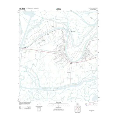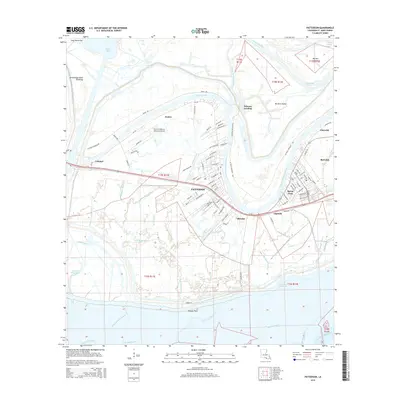
2024 Map of Patterson
USGS Topo · Published 2024About this map
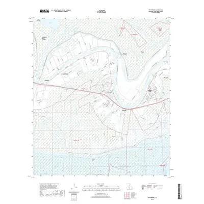
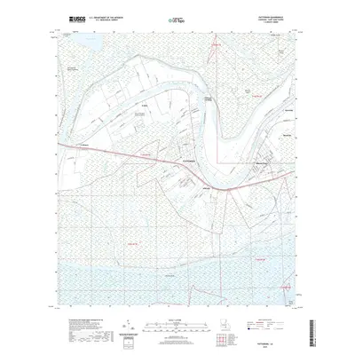
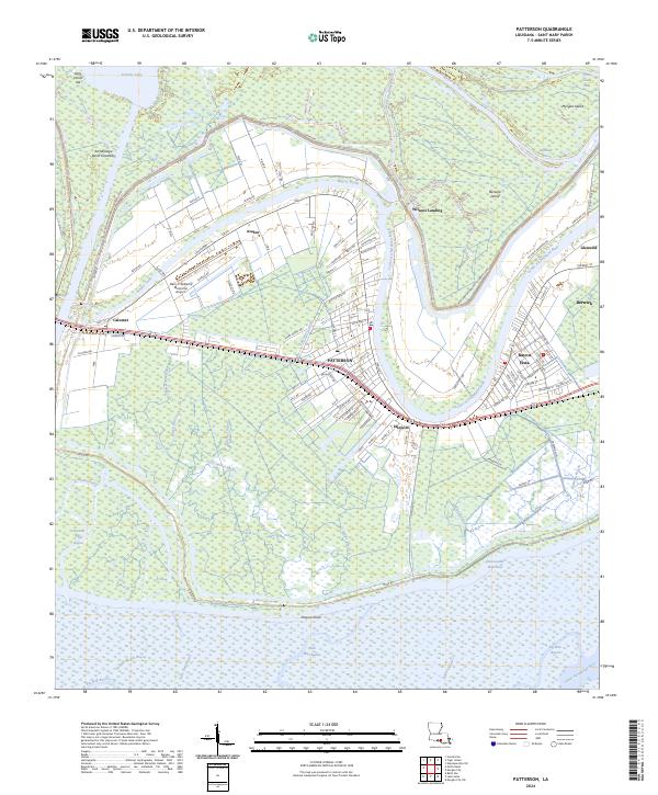
Bayou Teche and the Lower Atchafalaya River converge in this low-lying region of Saint Mary Parish, where the local economy follows the intricate paths of historic waterways. The town of Patterson serves as a central hub, situated along the BNSF Railway and the corridor of Hwy 182. The landscape is heavily defined by the Atchafalaya Basin Floodway and its extensive levee systems, such as the W Atchafalaya Basin Floodway Levee, which protect settlements like Avalon and Calumet from the surrounding wetlands.
Find a feature on this map
107 named features on this map. Tap any name to fly to it.
Don’t see what you’re looking for? This feature index may not catch every label — zoom into the map to look around manually.
Map Details
Editions of this 2024 Patterson Map
This is the sole edition of this map. No revisions or reprints were ever made.
Historical Maps of Patterson Through Time
7 maps found