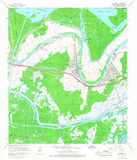
1966 Map of Patterson
USGS Topo · Published 1967About this map
Patterson sits at a strategic bend where Bayou Teche meets the Lower Atchafalaya River, serving as a central hub for the region's river-and-rail economy in the mid-1960s. The landscape is defined by the complex hydrology of the Atchafalaya Floodway, with the Southern Pacific railroad running parallel to the bayou, connecting settlements like Calumet, Lagonda, and Bayou Vista.
Find a feature on this map
56 named features on this map. Tap any name to fly to it.
Don’t see what you’re looking for? This feature index may not catch every label — zoom into the map to look around manually.
Map Details
Editions of this 1966 Patterson Map
4 editions found
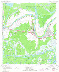
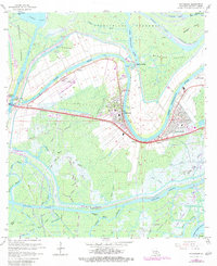
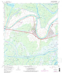
Other maps of this area

1935 · Belle Isle
USGS Topo · 1:31,680

1935 · Morgan City
USGS Topo · 1:62,500

1941 · Belle Isle
USGS Topo · 1:62,500

1945 · New Orleans
USGS Topo · 1:250,000

1948 · Foster
USGS Topo · 1:62,500

1953 · Napoleonville
USGS Topo · 1:62,500

1954 · Morgan City
USGS Topo · 1:62,500

1954 · Belle Isle
USGS Topo · 1:62,500

1959 · Foster
USGS Topo · 1:62,500

1963 · New Orleans
USGS Topo · 1:250,000