Loading...
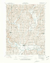
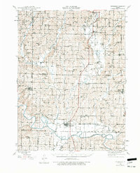
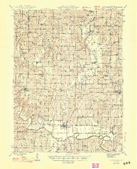
Loading map...1944 Map of Pattonsburg
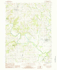
USGS Topo · Published 1981About this map
Pattonsburg sits at a critical junction of the Wabash railroad and the meandering Grand River, serving as a regional hub for the surrounding agricultural townships of White Oak, Butler, and Cypress. The landscape is defined by an incredibly dense network of rural infrastructure, where nearly every section of land is anchored by a named schoolhouse or church, reflecting a highly organized mid-century farming community.
Find a feature on this map
99 named features on this map. Tap any name to fly to it.
Don’t see what you’re looking for? This feature index may not catch every label — zoom into the map to look around manually.
Map Details
Date Portrayed1944
Date Published1981
PublisherU.S. Geological Survey
Map TypeTopographic
Scale1:62,500
Physical Dimensions17.5 x 22 inches
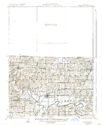
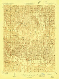
Editions of this 1944 Pattonsburg Map
2 editions found
Historical Maps of Bethany Through Time
5 maps found
Featured Locations
Source Details
SourceU.S. Geological Survey
CopyrightPublic Domain